When
it comes to India, government bodies have been leading the way when it comes to
applications of UAS with several large India government bodies and PSUs
leveraging the use of UAS in their operations.
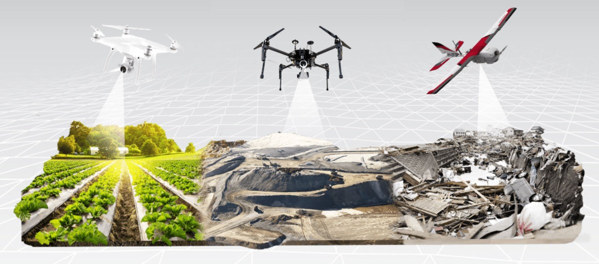
The variety of applications is already
deeply diverse:
• As part of the road-widening project
executed by the Highways Authority of India, several Indian start-ups are
assisting in the 3-D digital mapping of the Raebareli– Allahabad highway. The
data gathered by UAVs are playing an incremental role in the computation of
compensation for those whose property rights is affected by the project.
• Similarly, Railways in India is planning
the bidding process for 3- video mapping of the entire dedicated freight
corridor network of 3,360 km (roughly 2,000 miles) using drone technology.
• The state-owned power corporation has
obtained approval from a committee representing the Ministry of Defence,
Ministry of Home Affairs, and Power to use drones for monitoring project
development. The organization believes that this can render the monitoring of
projects in hilly terrains particularly cheap and efficient
The ability of drones to monitor surface
integrity, take measurements, and assess wear and damage has prompted the
thermal power corporation to consider their deployment for solar panel inspection,
predictive maintenance, and surveillance and intrusion detection in solar power
plants. Drone-powered execution of infrared detection in solar photovoltaics
can have monumental positive benefits for India, as the country attempts to
achieve its stated goal of 100 gigawatts of solar capacity by 2022.
• An Indian state-controlled coal mining
company has applied for permission from the Ministry of Home Affairs and the
Ministry of Civil Aviation to start using drones for aerial surveys of coal blocks
that come up for exploration, in order to assess the extent of greenery to be
restored after mines are closed.
• An agency for coordinating the response to
natural or man-made disasters have


No comments:
Post a Comment